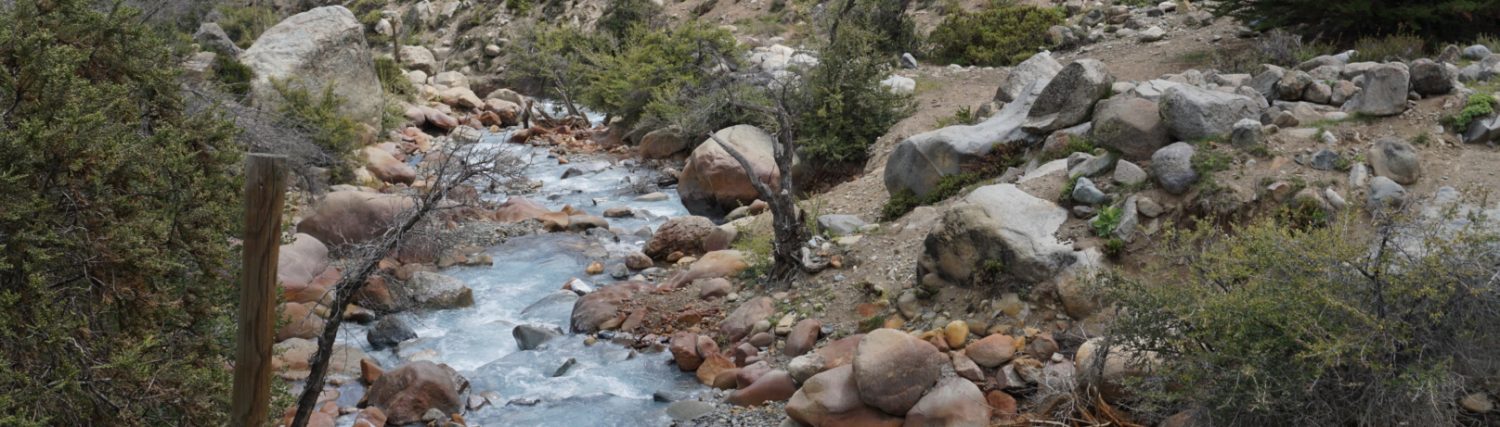
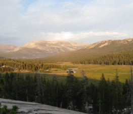
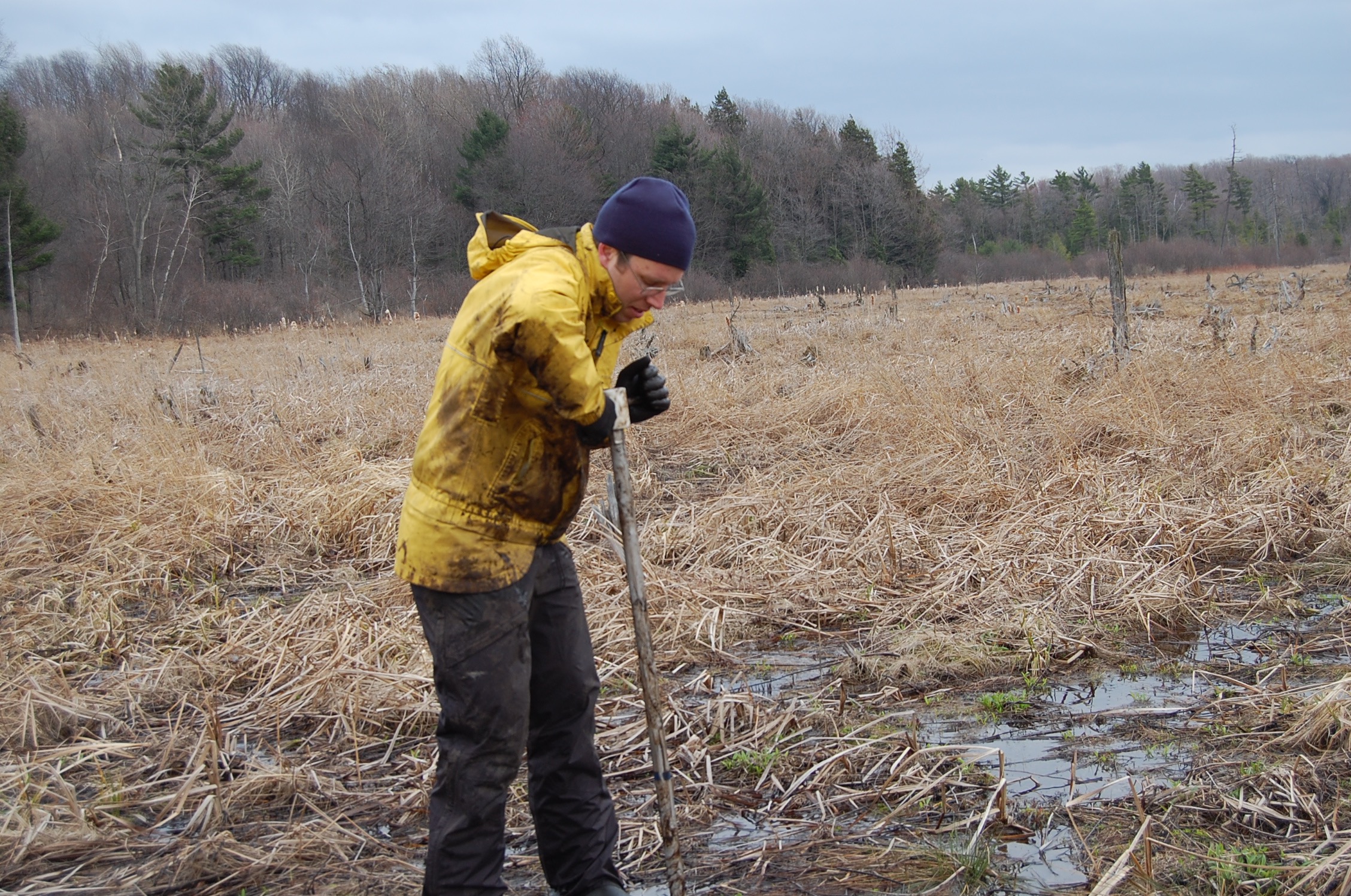
Groundwater Dependent Ecosystems
Our research in groundwater dependent ecosystems includes investigations in high elevation meadows, peat dominated wetlands, and hyporheic flow in stratified glacial sediments. In these landscapes, which includes springs, wetlands, and riparian zones, groundwater plays an integral role in maintaining ecological function. These investigations rely on a combination of numerical modeling and fieldwork in order to quantify the controls of groundwater flow.

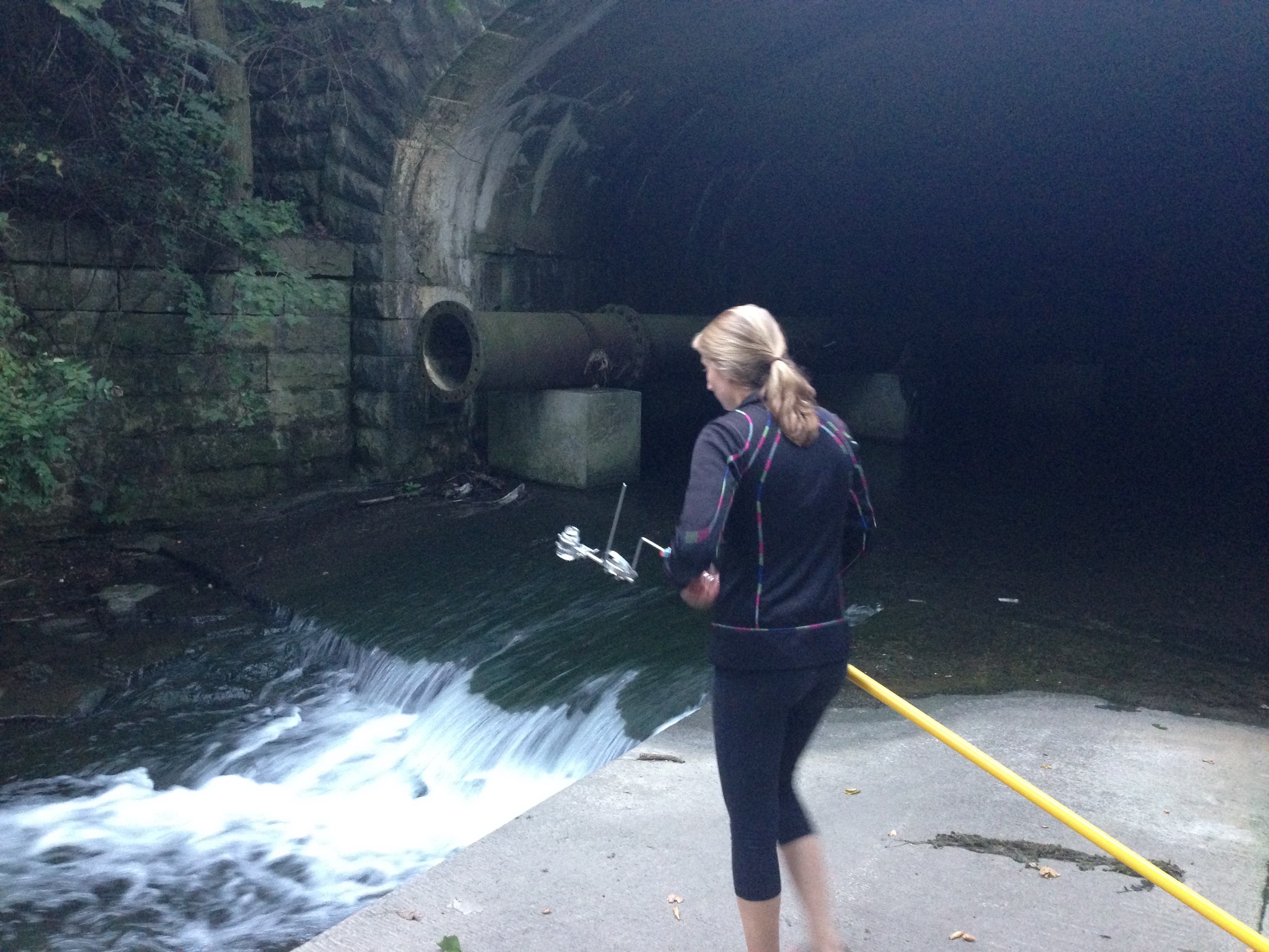
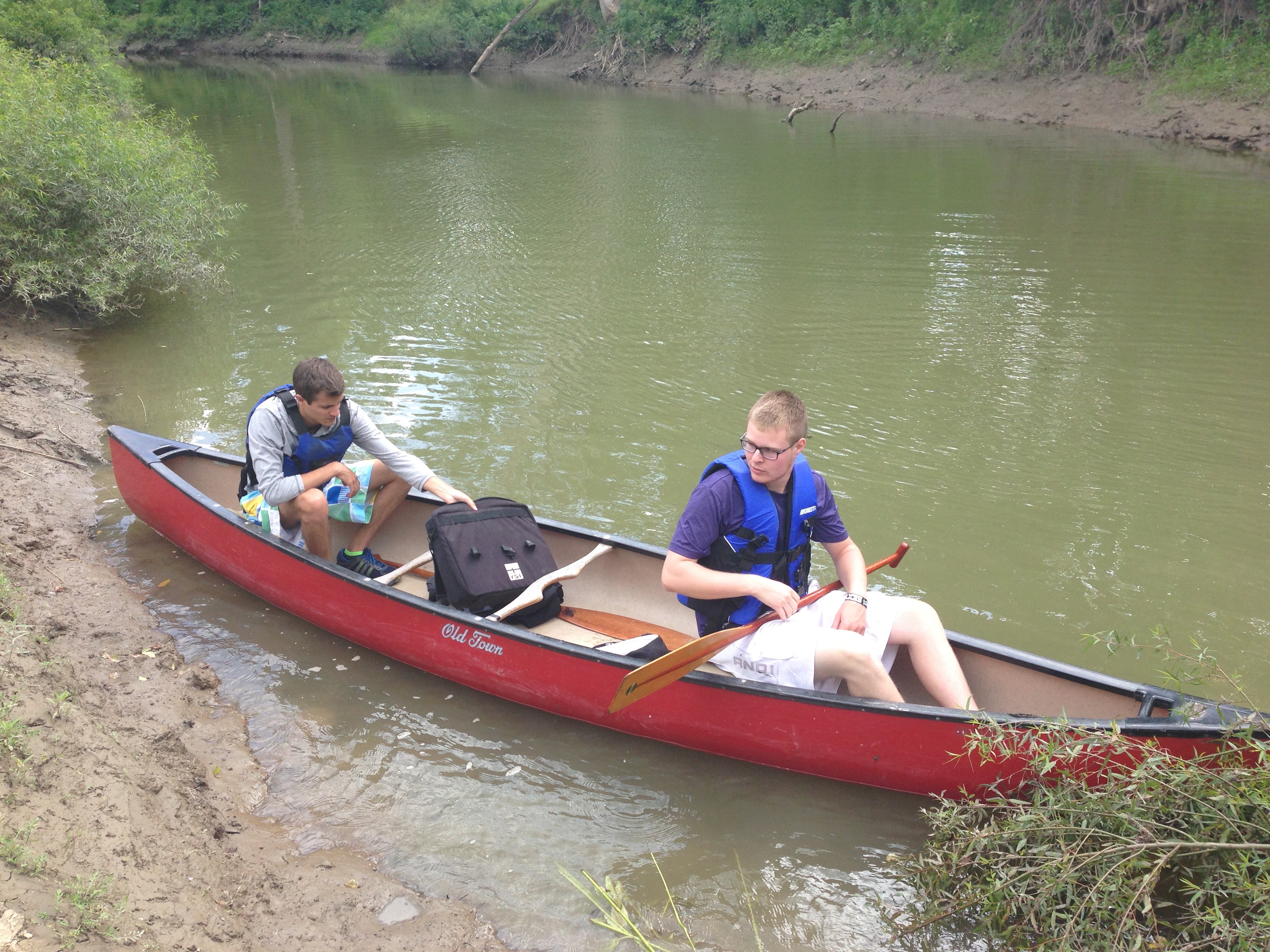
Groundwater/Surface water Interactions
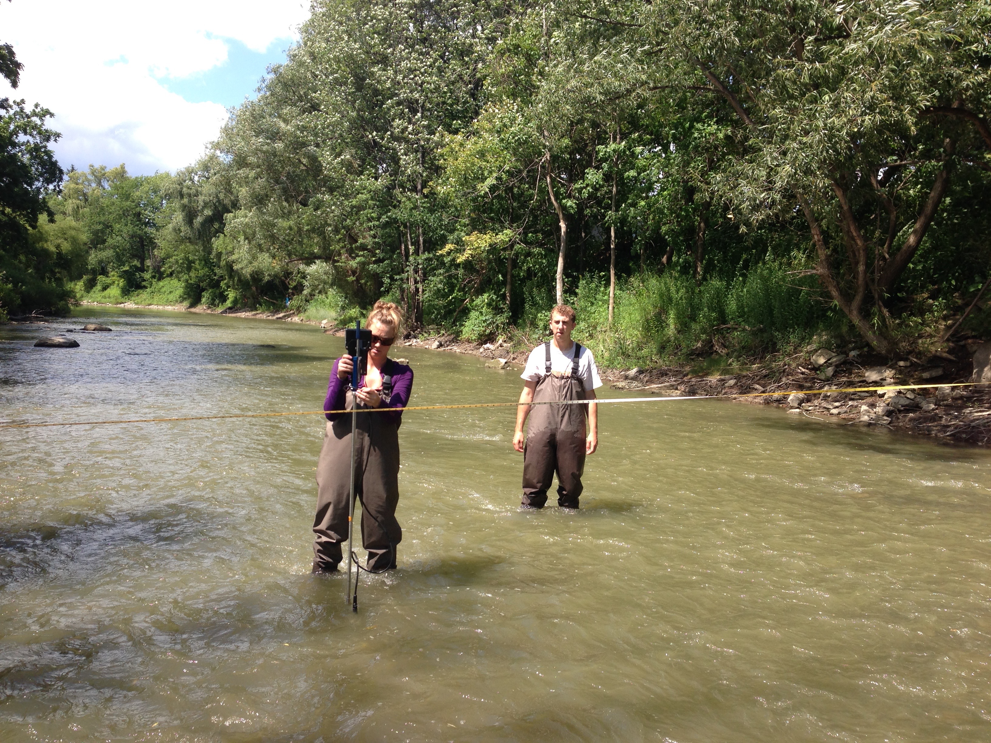
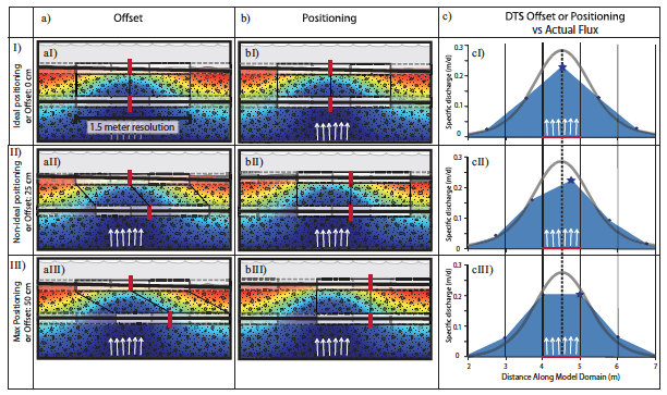
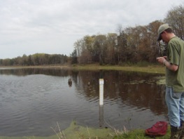
Quantifying the amount of groundwater discharging to streams and lakes is very important from the prospective of resources managers interested in preserving healthy ecosystems. Our lab used both physical and numerical techniques to quantify these fluxes into and out of surface water bodies. We are particularity interested in using a combination of field methods to quantify the fluxes over a range of spatial and temporal scales. We then take our field data back into the lab and use a range of numerical models to better quantify groundwater/surface water interactions.

Groundwater Flow Modeling
Numerical modeling is an important tool to both understand the current state of groundwater resources as well as predict future changes to the resource. In our current research we simulate both groundwater flow with the saturated zone as well as fluid flow within the unsaturated zone. These simulation help us quantify the impact of processes such as municipal groundwater pumping on a regional aquifer or the amount of groundwater captured through evapotranspiration as a result of riparian restoration.
Groundwater Resources and High Volume Hydraulic Fracturing
Currently New York state has a ban on high volume hydraulic fracturing (HVHF) used in natural gas development. However, our research group is still very interested in what the potential impacts may be due to HVHF if such a ban is to be lifted. While water quality concerns have been the primary focus of this technique our research group is investigating the water quantity impacts. Using numerical simulations we are currently investigating the impact to streams and shallow aquifer as a result of this high volume water extraction.
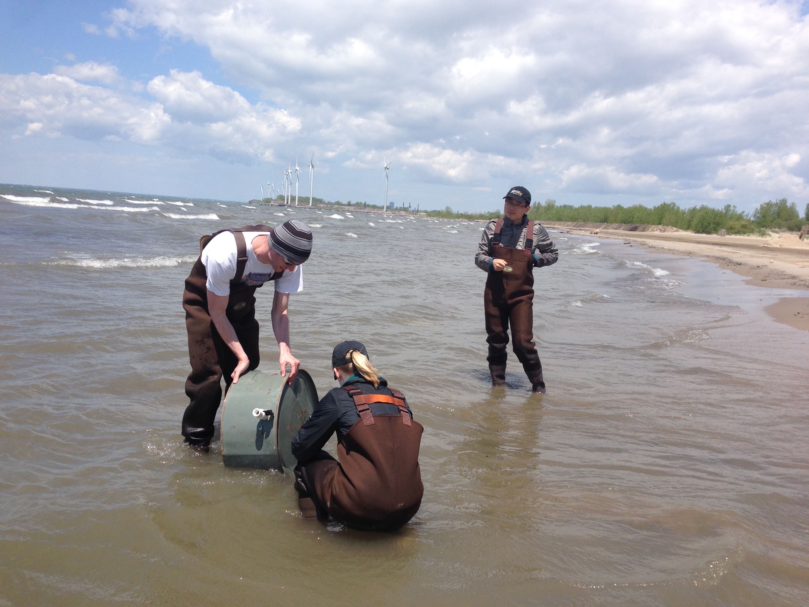
The Western New York Watershed Network
The Western New York Watershed Network is designed as a flexible student and community based network focused on monitoring and analyzing hydrologic events. As an open source network, information regarding water quantity and quality will be publicly available, with many measurements reported in real-time. Over the summer of 2015 this research network trained 10 undergraduate students on basic research methods in hydrology by addressing five research objectives.
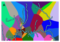
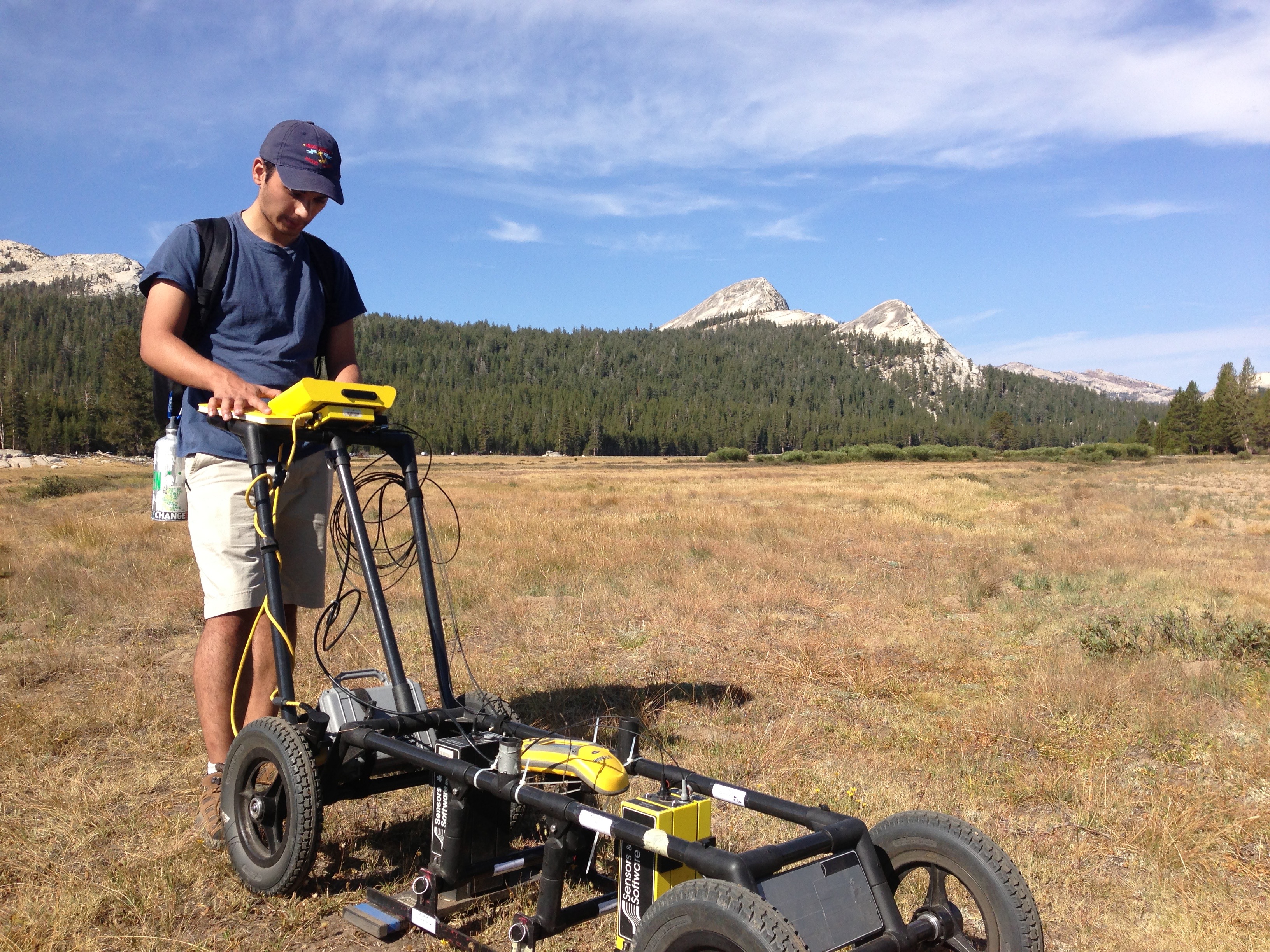
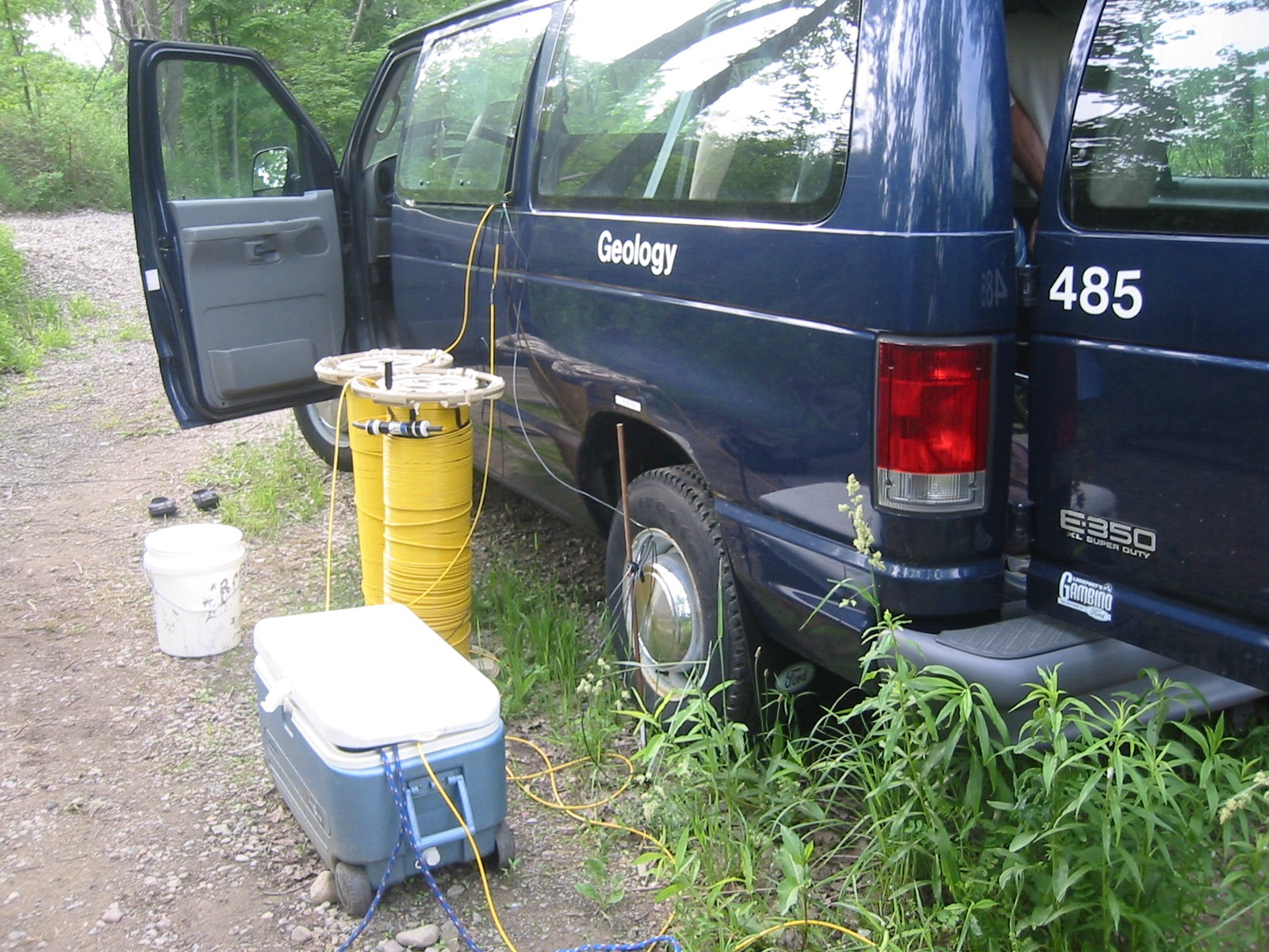
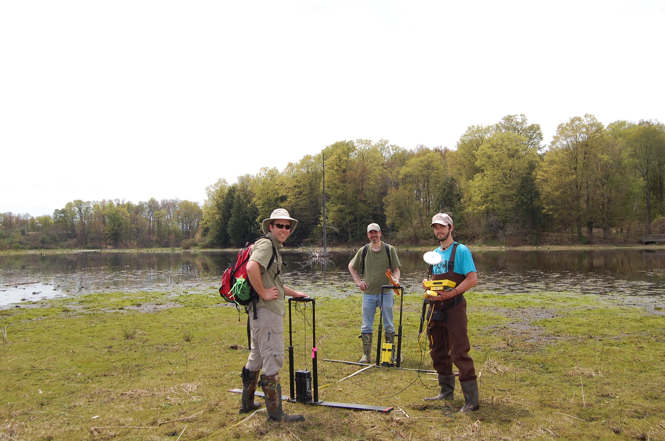
Hydrogeophysics
Identifying changes in thickness and lithology in the shallow subsurface is critical in numerical simulations of groundwater flow. Using ground penetrating radar we are able to map these important changes in thickness and lithology. As a result we are able to gain better insights into the geologic controls on groundwater flow in the shallow subsurface.
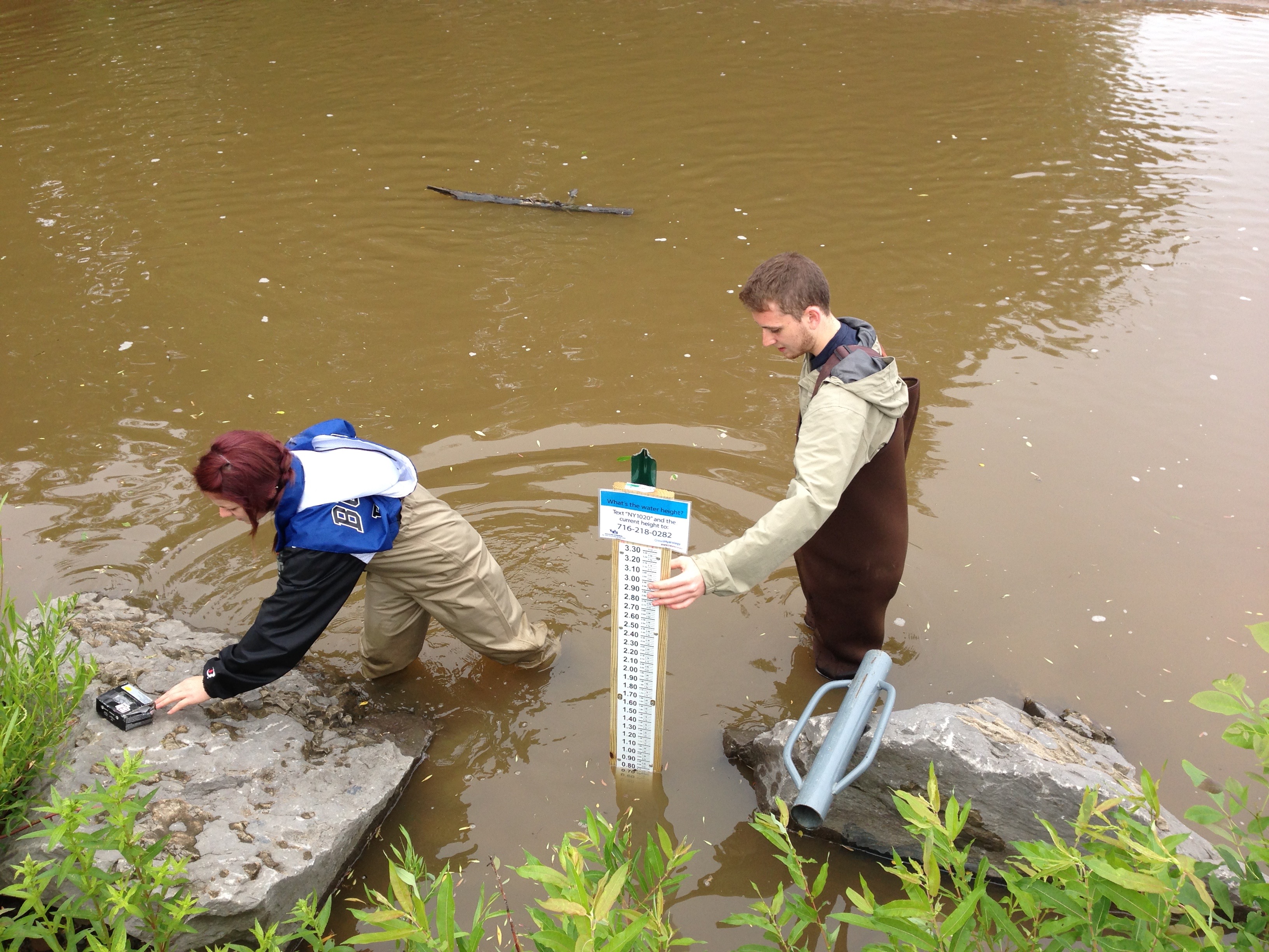
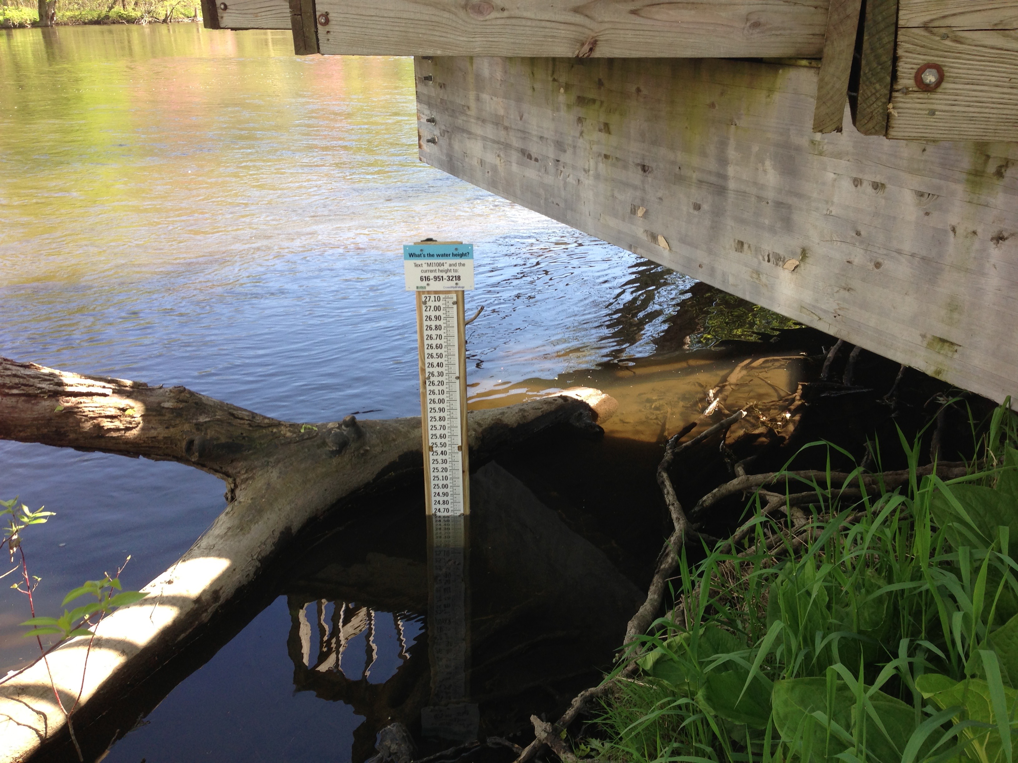
Crowdsourcing Hydrologic Data
Collecting spatially distributed hydrologic data can be both difficult and expensive. However, with the ubiquity of smart phones we may now have a novel hydrologic data collection community using citizen scientists. We are attempting to use citizen scientist to collect hydrologic data. Please check out our experiment at www.crowdhydrology.com
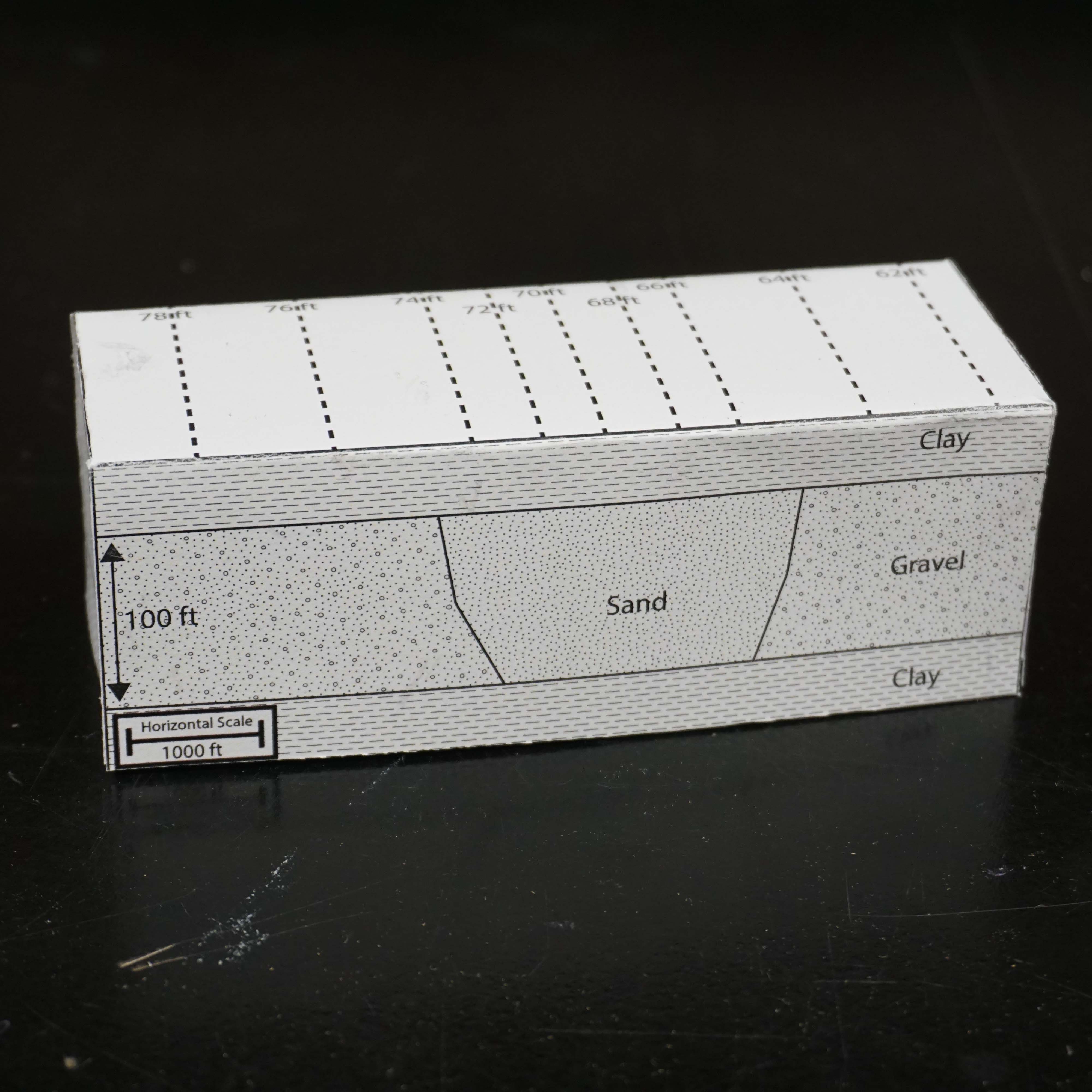
Foldable Aquifer Project
The objectives of the foldable aquifer project are to provide three-dimensional paper models that allow users to visualize subsurface geologic structure and quantify fluid flow through porous media. These foldable paper models are meant to lower the barrier of entry for users to physically visualize the relationships between water levels and geologic lithology. Using these models, users are able to cut out, fold, and visualize three-dimensional problems. These paper models allow the user to physically rotate their aquifers in order to clearly visualize cross sectional areas, aquifer thicknesses, confining units, hydraulic gradients between wells and heterogeneity. While these same features can be visualized with computer software, we believe there are increased opportunities for user engagement by physically building and manipulating these simple models. You can check it out here: http://aquifer.geology.buffalo.edu/