We have already collected the data concerning the shoreline of Lake Lasalle. In this exercise, you will process those data and create a map that compares the measured locations of the survey flags. You will analyze the relative error of these measurements.
The survey data are available as an Excel Spreadsheet. For reference, you can also download a zipped orthophoto of the Lake.
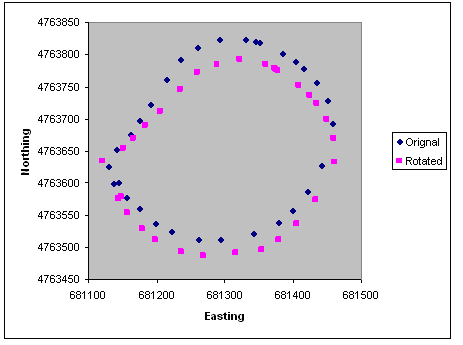
In the spreadsheet you will find the coordinates from the Topcon Hyperpro+ RTK system, the Topcon Total Station, and the Magellan handheld GPS. The Total Station data needed to be corrected to account for an incorrect North direction. All the points were converted to radial coordinates and than rotated about the total station location (RTK Point #1) until the difference between the RTK coordinates and Total Station coordinates was minimized.
Create a map with the three measurement techniques. Make sure that when you create the tables that you save the flag number as text because you will need to perform a join later on. The data should be projected in WGS84 NAD17N. You can use the orthophoto to check your results. To calculate the total station coordinates, assume that the RTK position for the total station (RTK #1) is the correct absolute position of the total station.
We want to determine the position and elevation error of the total station and the hand held GPS, assuming the RTK positions are "truth". Use the Proximity tool in the ArcTool box under Analysis Tools to determine the mean and the 95% confidence (two standard deviations) of the positional error for both the total station and the handheld GPS. Calculate the mean and the 95% confidence of the elevation error as well. To do this, you will have to perform spatial joins and then use the field calculator to find the absolute difference in elevations.
Turn in a map with all three survey points plotted over the orthophoto. This map should have all the required attributes of a map.
Turn in a table that reports the statistics requested above.