Machias Formation (Chadwick, 1923):
Type Locality: Pierce Quarry, Machias, NY
Equivalent Names: to the west – Northeast Fm., to the south – Harrisburg Run, Bradford 2nd Sandstone, Chipmunk and Sugar Run sandstones.
Thickness: 94.2+ m (~308.9+ ft)
Lithology: The Machias Formation is characterized by interbedded gray shales, siltstones and thin sandstones, with lensing packets of thicker fine-grained sandstones that can range up to 6 m in thickness. The sandstone packets display HCS with prominent SCS and TCS with thin (~10 - 20 cm) fossiliferous coquinite layers. Measured paleoflow orientations of trough cross-sets and ripples indicate bi-directional flow, both to the east and west. The interior surfaces of the troughs and swales contain interference ripples. Each thick sandstone packet is sharp-based indicating a sudden deposition of the sandstones; while examination of the basal contacts reveal little or no erosion of the underlying unit precluding the idea that the sands marked a sequence boundary.
In Allegany and Cattaraugus counties, the Machias Formation contains four thick sandstone-packets, and five thinner sandstone-packets that can be traced across the study area; although thickness variations and the ubiquitous presence of thrust faults makes individual correlations tenuous. The sandstone packets in the Machias Formation were easily distinguished from the sandstone packets in the Rushford Formation by prevalence of HCS and SCS throughout the Machias sandstone, and the presence of thin, lenticular coquinites and rarely conglomerates that were part of the tempestite packets in the Machias Formation. Another distinguishing characteristic is that the sandstones of the Rushford Formation were slightly coarser and better cemented than the sandstone is the Machias Formation. The upper contact is placed at the basal sandstone of the overlying Cuba Formation. However, discriminating between the Cuba Formation and the thick sandstones in the Machias Formation is equivocal in some regions
Ichnology: The interbedded sections of the Machias Formation were dominated by Cruziana ichnofacies of Planolites, Palaeophycus, Rhizocorallium and Thalassinoides. In the interbedded sections occurring above the Rushford Formation, occur sporadic thin calcareous sandstones and siltstones contain Zoophycos similar to the occurrences in the Caneadea Formation reported by Smith and Jacobi, 2000 & 2001). In the thinner sandstones and tempesites the trace fossil assemblage contains a less abundant Cruziana assemblage and a low-diversity Skolithos ichnofacies, implying rapid shift in the depositional environment allowing colonization by more adaptable Skolithos and Arenicolites. The thicker sandstone packets contain a dominant, but still low-diversity Skolithos ichnofacies of Skolithos and Arenicolites. The thicker sandstones were interpreted to represent a long period of high-energy conditions, where the erosion preceding the deposition of the succeeding sandstone layer removes times of quiescence.
Depositional Environment: The storm beds common to the interbedded, thin-sandstones suggest that the interbedded sections were deposited above storm wave base, most likely upper offshore. Numerous tempestite beds indicate deposition in an intermediate-to-high energy, storm dominated environment. The alternating paleoflow orientations in the trough cross-sets and ripples suggest either a tidal component or a shoreface environment. The amount of coarse material and high organic material indicate that the TCS and SCS dominated sand packets also represent a storm-dominated, middle to upper shoreface environment. However, the large-scale lenticular deposition pattern of the sandstone-packets further suggests that these thick sandstones were deposited as storm-generated shelf sand ridges.
Machias Formation
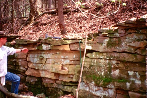
Outcrop of one of the thick sandstone packets in the Machias Fm. The thick sandstone packets are
finer grained than the sandstones found in the Rushford Fm., and typically contain trough
cross-sets as seen in this photo. R. Bechtel and 92cm crowbar for scale.
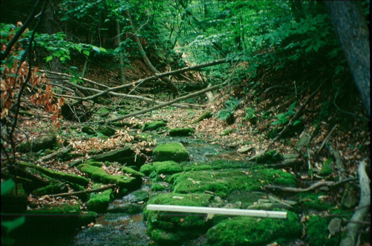
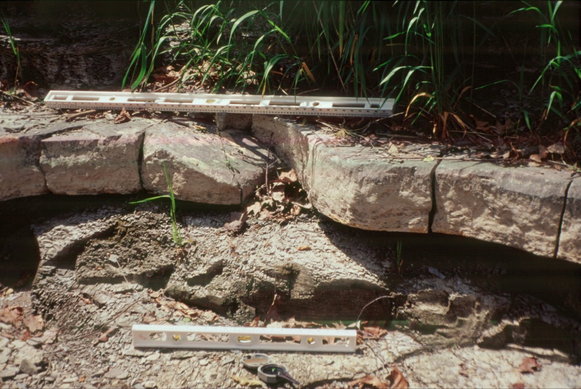
Typical creek exposure of the thick sandstone beds within the
Machias Fm., usually a long moss/algae cover cascade.
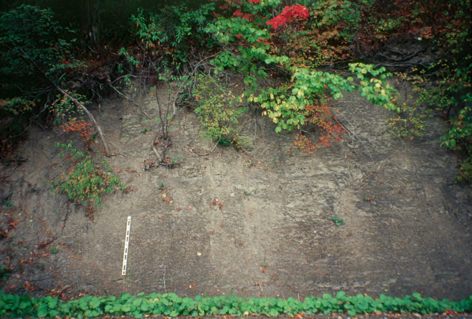
Exposure of the Machias Fm. along Raub Rd., in the Franklinville quadrangle
showing shale section without any sandstones.
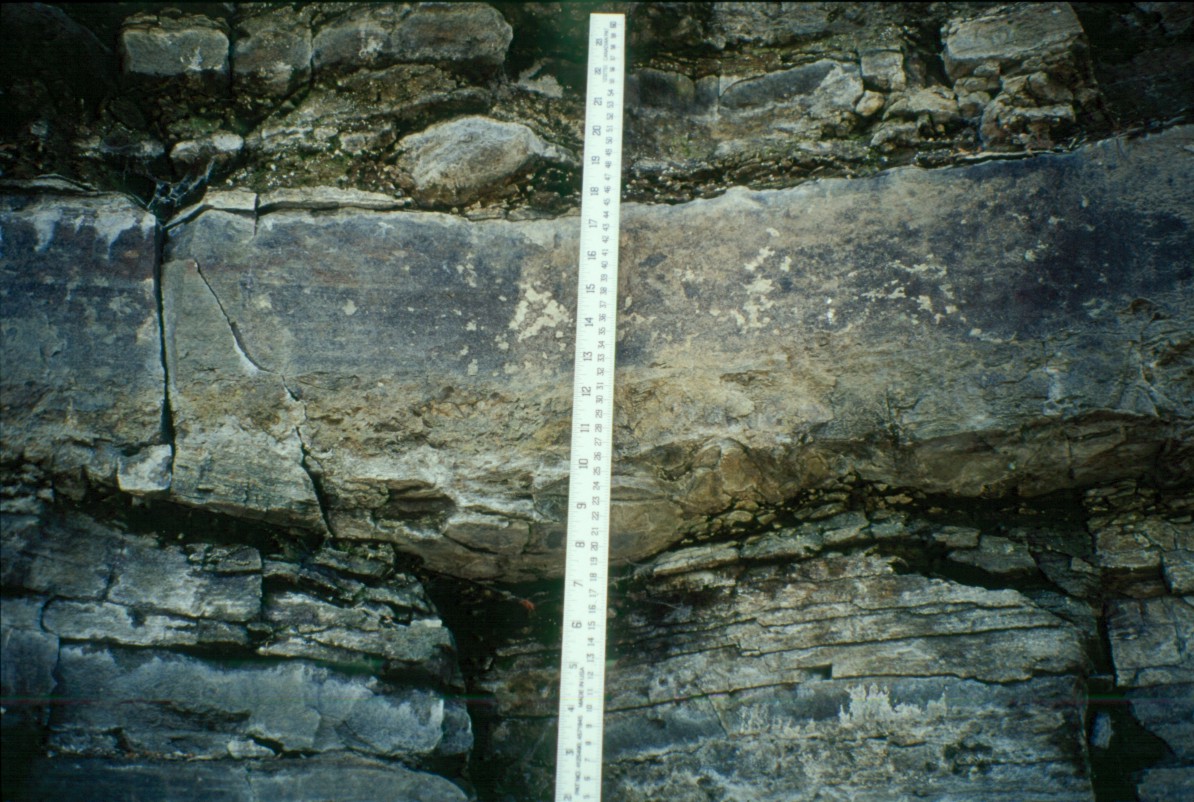
Tempestite within the Machias Fm. in an outcrop along the Genesee River at Belmont, NY displays a basal shell lag
that has scoured the shale below, overlain by cross-bedded sandstone. Note the furrow within the thin sandstone
above the tempestite bed; another indicator of storm activity.
Outcrop of the Machias Fm. along the Genesee River at Belmont, NY. Pencil cleavage within the shale
and slickensides on the sandstone bed both indicate the presence of bedding thrust common
within the Machias in Allegany County that make correlations within the Machias Fm. difficult.